From the rugged peaks of the Rocky Mountains to the vast, golden expanse of the prairies, Alberta represents the diverse heart of Western Canada.
Whether you are planning a road trip along the Icefields Parkway, relocating for work in the energy sector, or simply studying Canadian geography, understanding the layout of this province is essential.
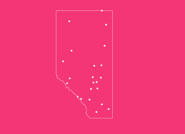
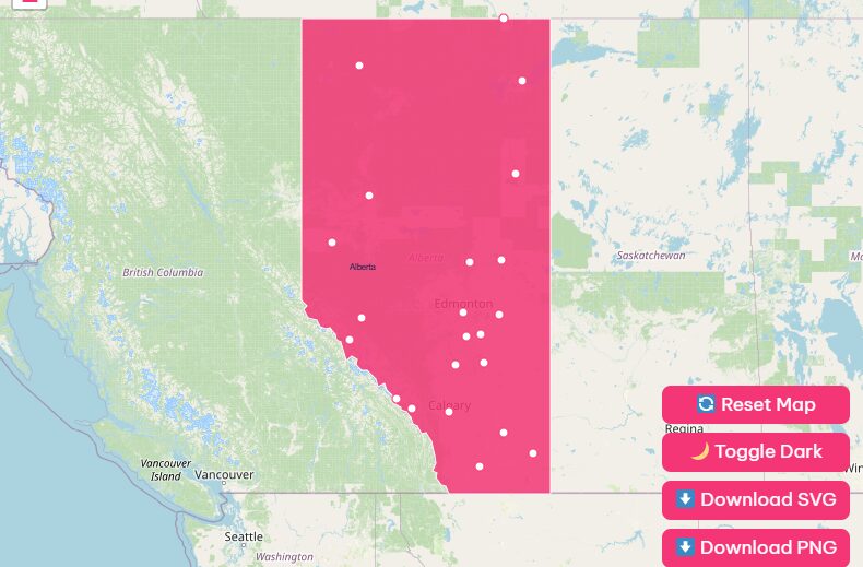
How to Use the Map Tool on This Page
Hover Highlight
Move your cursor over specific cities or regions.
Zoom In/Out
Use the + and – buttons in the top right corner to inspect details in major cities like Calgary or vast geographical features like Wood Buffalo National Park.
Reset Button
Got lost in the backroads of rural Alberta? Hit the “Reset” icon to return the map to its default provincial view.
Dark Mode Toggle
Planning your route late at night? Switch the toggle to “Dark Mode” for a comfortable, low-light viewing experience.
Download Options
Need a physical copy? You can download high-resolution versions of the map directly. We offer:
- PNG: Ideal for digital presentations.
- Blank SVG: Perfect for students or teachers needing a blank outline for quizzes or coloring.
Historical Overview of Alberta
Understanding the map of Alberta requires a look back at how the borders were drawn.
Before it was a province, this land was part of the North-West Territories and was home to First Nations including the Blackfoot, Cree, and Métis people.
Becoming a Province
Alberta officially joined the Canadian Confederation on September 1, 1905. The inauguration ceremony took place at noon, appointing George Hedley Vicars Bulyea as the first Lieutenant Governor.
The Name
The province was named after Princess Louise Caroline Alberta, the fourth daughter of Queen Victoria.
Economic Shift
Originally dependent on the fur trade and later agriculture (specifically wheat farming), the province’s trajectory changed forever in 1947.
The discovery of oil near Leduc transformed Alberta into the energy powerhouse of Canada.
Geographical Overview of Alberta
Alberta covers a massive area of 661,848 square kilometers (255,541 square miles).
It is a landlocked province, bordered by British Columbia to the west, Saskatchewan to the east, the Northwest Territories to the north, and Montana (USA) to the south.
The landscape is generally divided into three distinct regions:
1. The Rocky Mountains
Running along the southwestern border, this is the most famous topographical feature on the Alberta map.
It contains the province’s highest point, Mount Columbia, which reaches 3,747 meters (12,293 feet). This region is home to world-renowned national parks and offers premier skiing, hiking, and climbing.
2. The Prairies
Dominating the southeast quarter, the prairies are characterized by flat to rolling plains.
This is the agricultural heartland, where vast fields of wheat, barley, and canola grow, and where Canada’s cattle ranching industry is centered.
3. The Boreal Forest
Covering the northern half of the province, this vast ecosystem is a mix of forests, muskeg, and lakes.
It is less populated than the south but is economically vital due to the oil sands deposits found near Fort McMurray and the forestry industry.
List of Famous Alberta Cities
Alberta’s population is highly urbanized, with the vast majority of residents living in a few key centers. Here is a look at the major cities you will see on the map.
Calgary
Located in the south, Calgary is the largest city in the province and the gateway to the Rocky Mountains. It is the corporate head office capital of Canada’s energy sector.
Famous for hosting the 1988 Winter Olympics and the annual Calgary Stampede, it sits at the confluence of the Bow and Elbow rivers.
Edmonton
Edmonton is the provincial capital and is located geographically central. It serves as the primary supply hub for the north and the oil sands.
Known as “Canada’s Festival City,” it is also home to the massive West Edmonton Mall.
Red Deer
Situated almost exactly halfway between Calgary and Edmonton, Red Deer is a vital distribution and service center. It services the petrochemical and agriculture industries of central Alberta.
Lethbridge
The commercial hub of southern Alberta, Lethbridge is close to the U.S. border. It is known for its high winds (Chinooks) and massive railway viaduct.
Urban Population Quick-View
| City | Region | Key Characteristic |
| Calgary | Southern / Foothills | Largest city, Energy hub |
| Edmonton | Central | Capital city, Government |
| Red Deer | Central | Logistics hub |
| Lethbridge | Southern | Agriculture & Education |
| Fort McMurray | Northern | Oil Sands operations |
| Medicine Hat | Southeast | Natural Gas reserves |
| Grande Prairie | Northwest | Forestry & Peace Region hub |
Transportation: Major Highways and Corridors
When looking at a road map of Alberta, one artery stands out above the rest.
The Queen Elizabeth II Highway (Highway 2)
This is the spine of the province. It connects Calgary and Edmonton. This region, known as the Calgary-Edmonton Corridor, is home to approximately 75% of the province’s population.
Trans-Canada Highway (Highway 1)
The major east-west route, connecting Medicine Hat, Calgary, Banff, and continuing into British Columbia.
Yellowhead Highway (Highway 16)
The northern east-west corridor, running through Lloydminster, Edmonton, and Jasper.
Key Attractions and UNESCO Sites
Alberta is a global tourism destination, largely due to its preservation of natural landscapes. The map of Alberta features five of Canada’s UNESCO World Heritage Sites:
- Canadian Rocky Mountain Parks: Includes Banff and Jasper National Parks.
- Dinosaur Provincial Park: Famous for being one of the richest dinosaur fossil locales in the world.
- Head-Smashed-In Buffalo Jump: A site preserving 6,000 years of Indigenous hunting culture.
- Wood Buffalo National Park: The largest national park in Canada, protecting the largest free-roaming herd of wood bison.
- Waterton-Glacier International Peace Park: A shared biosphere reserve with Montana.
Important Alberta Insights
If you are looking at the map for business or relocation purposes, keep these unique insights in mind:
Tax Advantage
Alberta is the only province in Canada with no Provincial Sales Tax (PST). Residents and visitors pay only the 5% federal GST.
Economic Output
Despite having a smaller population than Ontario or Quebec, Alberta contributes significantly to the national economy.
In 2023, the province’s economic output was $350 billion, representing 15% of Canada’s total GDP.
Exports
The economy is export-heavy. Approximately 70% of Alberta’s exports are oil and gas products, followed by agriculture and forestry.
Frequently Asked Questions
What is the current population of Alberta?
According to Statistics Canada estimates for Q3 2025, the population of Alberta is approximately 5,029,346.
When did Alberta officially become a province?
Alberta officially became a province on September 1, 1905.
What is the largest National Park in Alberta?
Wood Buffalo National Park is the largest. It covers 44,807 square kilometers and straddles the border between Alberta and the Northwest Territories.
Which city is the capital of Alberta?
Edmonton is the capital city, though Calgary has a larger population.
Does Alberta have a sales tax?
Alberta does not have a provincial sales tax (PST). Consumers only pay the 5% federal Goods and Services Tax (GST).
What is the highest point in Alberta?
The highest peak is Mount Columbia at 3,747 meters (12,293 feet), located on the border with British Columbia.
How much of Canada’s GDP comes from Alberta?
As of 2023 data, Alberta contributes approximately 15% of Canada’s total Gross Domestic Product.
What is the Calgary-Edmonton Corridor?
It is the geographic region between the province’s two largest cities, connected by Highway 2. Roughly 75% of Alberta’s population lives in this corridor.
How many UNESCO World Heritage Sites are in Alberta?
There are five UNESCO World Heritage Sites located wholly or partially within Alberta.
What are the main economic drivers of Alberta?
The energy sector (oil and gas) is the primary driver, accounting for a significant portion of GDP and exports, followed by agriculture, forestry, and tourism.
Conclusion
Ready to explore? Download your free high-resolution map of Alberta today using the options in the tool above and start planning your next adventure in Canada’s Wild Rose Country.